
Trenton ZIP Coverage
The USPS reference groups many delivery ZIPs under a TRENTON NJ postal label, but it does not publish a complete neighborhood-to-ZIP or city-limit crosswalk for this area. The table preserves the postal associations documented in the research and flags where an exact address lookup is still needed. “Post Office” below means the USPS label in that reference, not a claim about a physical station or full service area.
| ZIP | Areas Covered | Post Office | Notes |
|---|---|---|---|
| 08601-08607 | Downtown and central postal range | USPS label: TRENTON NJ 08601 | Use the address tool for active delivery assignment. |
| 08608-08609 | Central Trenton postal ranges | USPS label: TRENTON NJ 08608 | Exact boundary needs an address-level result. |
| 08610 | Postal Trenton range | USPS label: TRENTON NJ 08610 | Some addresses are outside City limits. |
| 08611 | South and central postal range | USPS label: TRENTON NJ 08611 | Confirm the situs municipality. |
| 08618 | North and west Trenton-area range | USPS grouping: TRENTON NJ 08608 | Postal label does not prove a City address. |
| 08619-08620 | Postal Trenton range, with edge areas | USPS grouping: TRENTON NJ 08619 | Hamilton or Ewing edge addresses require verification. |
| 08628 | Ewing and West Trenton-area range | USPS grouping: TRENTON NJ 08628 | The parcel municipality may be Ewing. |
| 08629 | Trenton postal delivery label | USPS grouping: TRENTON NJ 08610 | Check the complete address. |
| 08638 | Trenton and Ewing-area label | USPS label: TRENTON NJ 08638 | Use the county municipality field. |
| 08640-08641 | Postal or processing grouping | USPS grouping: TRENTON NJ 08628 | Not a municipal boundary. |
| 08648 | Lawrence and West Trenton postal use | USPS grouping: TRENTON NJ 08628/08638 | May carry a Trenton label outside the City. |
| 08690-08691 | Hamilton-area postal label | USPS grouping: TRENTON NJ 08610 | Outside Trenton municipality for many addresses. |
The USPS address lookup tool is the documented route for resolving the label attached to a particular delivery address.
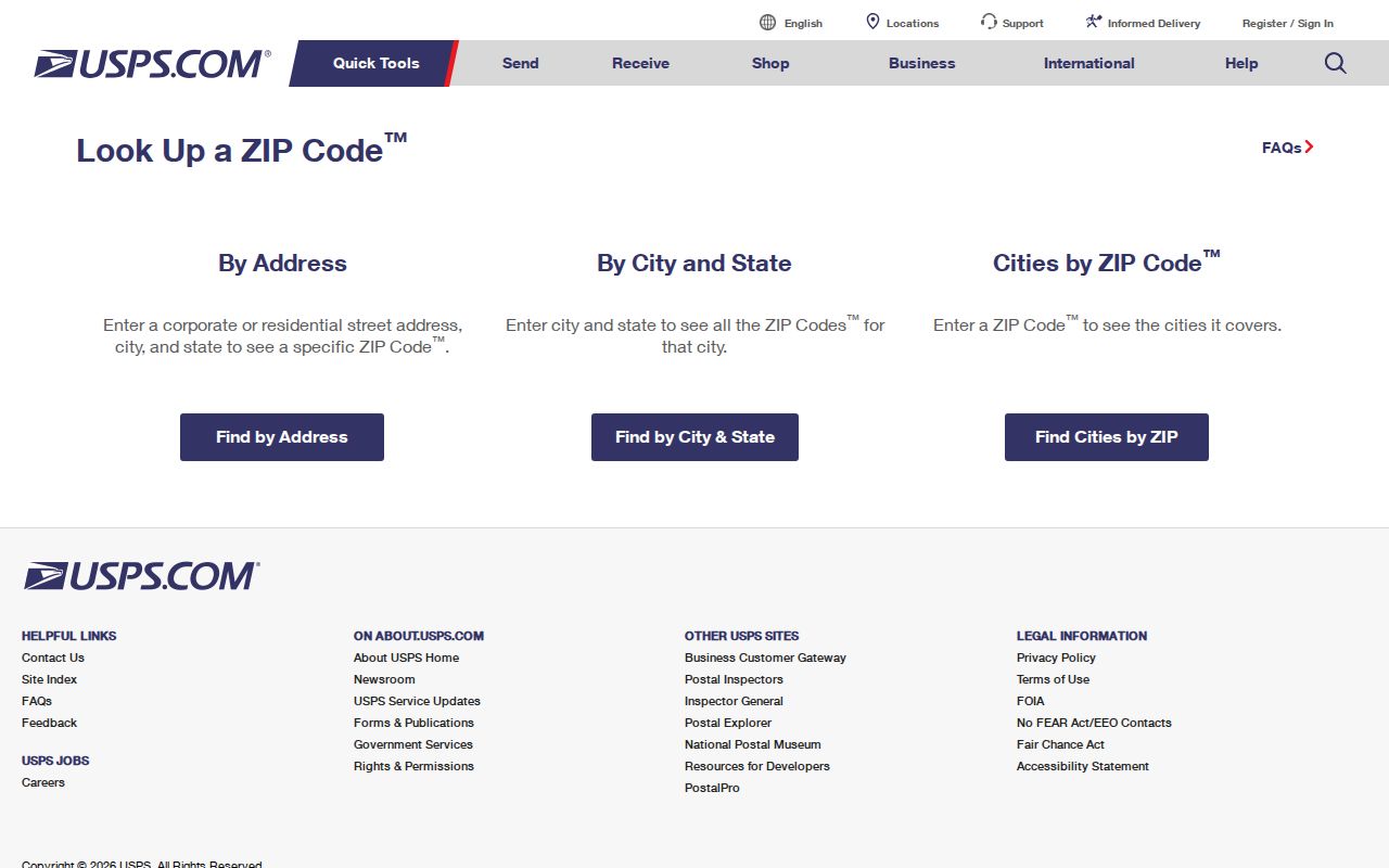
The USPS result answers a postal assignment question. It must be paired with the parcel’s municipality and situs when the question is whether the location lies inside Trenton.
Trenton ZIP Labels
A Trenton ZIP code directory is a postal reference, not a map of the corporate city. The research documents Trenton labels for 08601 through 08609, 08610, 08611, 08618, 08619, 08620, 08628, 08629, 08638, 08640, 08641, 08648, 08690, and 08691. The association is strongest when used for mail routing, but several of those labels also serve Ewing, Hamilton, Lawrence, or West Trenton-area addresses. It would be inaccurate to call every listed ZIP a City of Trenton ZIP.
Census ZIP Code Tabulation Areas add a second geography. A ZCTA is a statistical approximation used for Census work, not a USPS delivery route and not a parcel line. Census data can help describe an area, while USPS assigns an address and the municipal tax or GIS record establishes the jurisdiction. Keeping those three tasks separate prevents a broad postal label from becoming a false location claim.
Note: The research did not locate an official ZIP-to-neighborhood table or a verified local ZIP split or realignment year.
Search Trenton ZIPs
No official public person-by-ZIP directory was located for Trenton. The practical route is to start with a complete address, confirm the postal ZIP, and then use the fields that the relevant record system actually accepts. The County Clerk’s static form exposes Town, lot/block, legal description, party name, document type, date, consideration, instrument number, and book/page routes rather than a ZIP filter. NJGIN likewise uses address and parcel fields. That limitation is useful: it directs a search toward the correct parcel or street record instead of a broad, unsupported name list.
- Enter the full delivery address in the USPS tool and retain the ZIP returned for that address and date.
- Use the address to identify the municipality, county, and situs before treating the postal label as a Trenton location.
- Search NJGIN by address or parcel identifiers, then record the municipality, block, and lot where available.
- For a recorded document, search the Mercer Clerk by Town=Trenton, party, legal description, or block/lot rather than assuming a ZIP search exists.
- Use a voter self-status result only for the named person’s own official status; the inspected source did not document a ZIP browse field.
Once the address is narrowed, the Trenton street directory follows the address-keyed property and deed trail in more detail. A ZIP code directory remains the postal and geographic starting point, not the final resident record.
Trenton ZIP Code Search Fields
The statewide NJGIN Property Explorer is the documented parcel-orientation route after a ZIP has been verified. Its field set does not include a ZIP filter in the inspected source. Instead, it accepts the parcel keys that identify the correct municipality and land record. Owner names are redacted from hosted parcel downloads, map services, and applications under Daniel’s Law, so a redacted map is not a reason to infer an owner.
| NJGIN Field | Documented Use |
|---|---|
| Address | Optional search for a parcel by street address. |
| County | Optional selector for Mercer-specific results. |
| Municipality | Optional selector; choose Trenton only after checking the actual municipal location. |
| Block | Optional New Jersey tax-block identifier. |
| Lot | Optional tax-lot identifier, commonly paired with block. |
| Map or parcel selection | Optional map orientation and parcel selection. |
| ZIP code | No ZIP filter was documented in the inspected NJGIN page. |
The NJGIN parcels page is captured below.
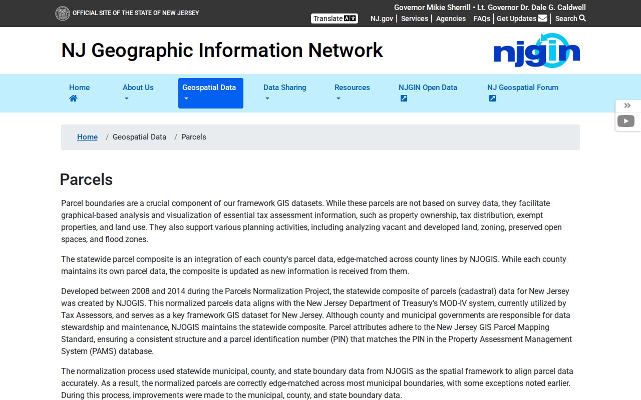
Use the map for parcel geometry, lot identity, street segment, and district context. Move from the confirmed block/lot to the assessor or Clerk rather than treating a postal ZIP as a property identifier.
Trenton ZIP Boundaries
Trenton postal boundaries and City limits answer different questions. A situs is the physical parcel or building location used for GIS and permit work. A mailing address is where tax correspondence goes and can be a company, trustee, agent, or former address. A deed’s legal description, including block/lot, subdivision, metes and bounds, or recorded plat, is the continuity key when an address changes. A postal label is useful for delivery and broad context but should not replace any of those fields.
- ZIP and ZIP+4
- The ZIP is the primary USPS delivery designation. ZIP+4 adds a more specific mail-delivery segment; neither one sets a municipal border.
- PO Box ZIP
- A ZIP used for post-office boxes. The research did not document a Trenton PO Box-only code.
- Unique ZIP
- A ZIP assigned to a single large addressee. No Trenton unique ZIP was documented in the inspected sources.
- Carrier route
- A postal delivery segment. It is not a City boundary or a parcel ownership field.
Boundary check. When a Trenton postal label and a parcel record disagree, rely on the parcel’s municipality and situs for the local jurisdiction.
Trenton Parcel Paths
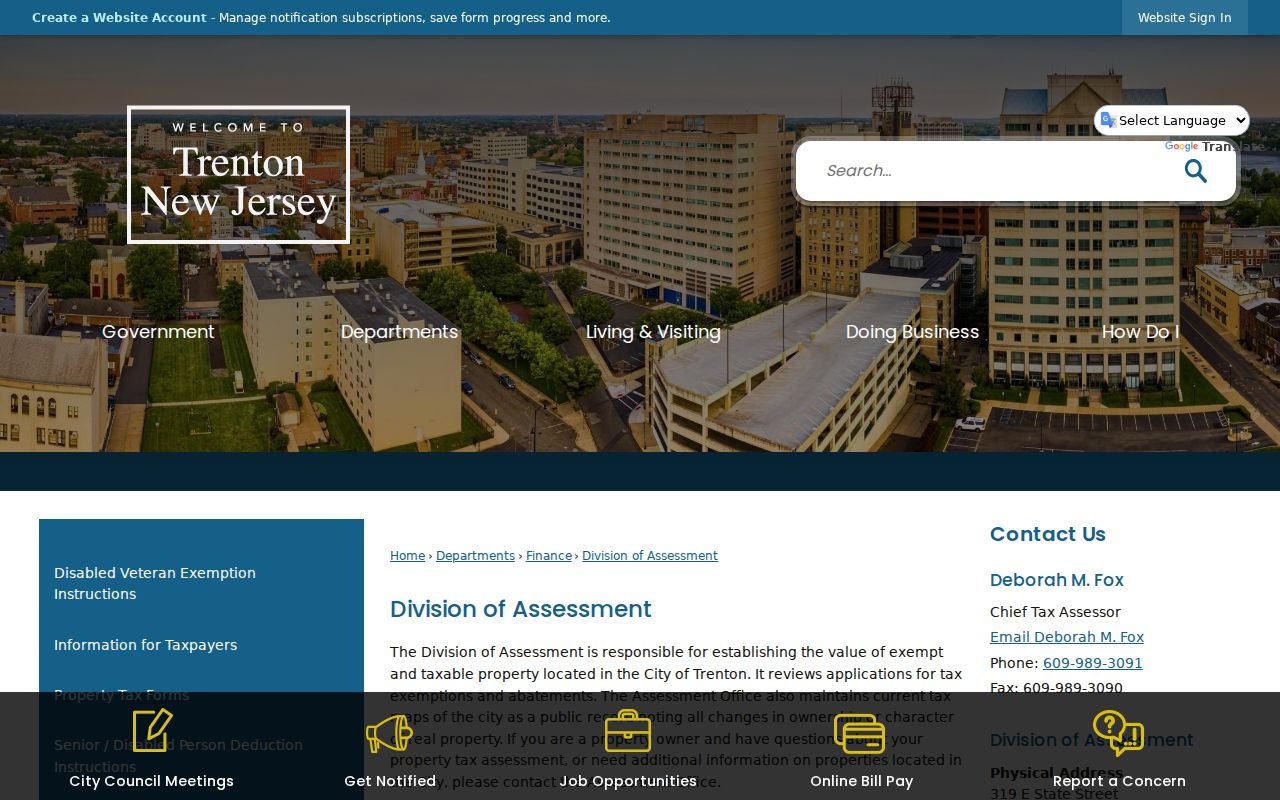
The City of Trenton Division of Assessment maintains tax maps and tracks changes in ownership or character. Its posted real-property tax-list page provides certified PDFs for selected years from 2011 through 2022, with gaps in the web list, rather than a documented current owner-and-address search form. Use that municipal record, the assessor counter, or an authorized route if the parcel needs more than the orientation data available through NJGIN. A tax mailing address is a clue, but it is not proof that an owner occupies the site.
The Trenton Division of Assessment is shown in this source capture.
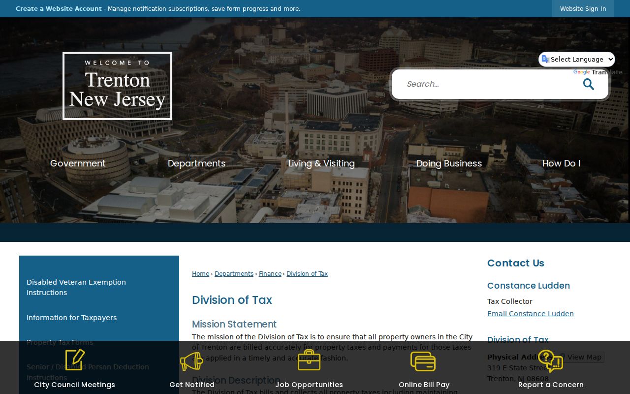
For tax billing, delinquency, annual tax-sale, and tax-foreclosure information, the City Tax Division is a separate custodian. A tax sale is a lien sale and does not establish who occupies a parcel.
The Trenton Division of Tax source is captured below.
For a deed trail, start from the confirmed situs and block/lot, then use the Mercer Clerk Official Records Search by Town, legal description, lot/block, or party name. The former public Mercer Property Information Portal is closed to public users, while the Clerk index and records room remain documented public channels.
Note: Parcel, tax, and deed records describe land or a transaction; each needs a separate dated source before it supports a resident conclusion.
Trenton ZIP History
Do not project a current ZIP backward onto an old address. The research did not find a verified Trenton ZIP split or realignment history, so historical directory and phonebook entries should keep their publication year. Trentoniana holds city directories from 1845 through 1971 and telephone-directory runs from 1925 through 1970, alongside historic maps and Sanborn sheets. A historical postal label can therefore be a time-specific fact rather than a current boundary statement.
Sanborn maps offer a useful local quirk. They can show current and previous house or block numbers, helping bridge an old address to a newer parcel record. Pair the map with the 1886 Atlas, 1905 map, 1930 real-estate atlas, current tax map, and deed legal description when numbers or street names do not line up. A reverse directory or phonebook is still a historical snapshot, so retain the year and publisher with each address hit.
Trenton ZIP Code Data Limits
A ZIP code directory cannot bypass access rules. NJGIN redacts owner names from its hosted parcel data under Daniel’s Law. The public PIP is closed, but the Mercer Clerk Official Records Search and records room remain routes for public land-record work. The City GIS/DataViewer is interactive, with access instructions directing users to email T Long, and GIS data requests go through the City Clerk under OPRA. No live City GIS layer inventory or custom-map service was documented, so do not assume a ZIP overlay or an owner-name layer exists.
Voter self-status is also not a ZIP-wide resident tool. Mercer’s list-request process asks for requester identity, address, particulars, and a noncommercial-use statement, while protected information is withheld. For a postal question, use USPS. For a parcel question, use the municipality, situs, block, and lot. For a document question, use the Clerk index or records room. This division of labor produces a better result than trying to make one postal label answer every question.
Note: If an address is protected, redacted, absent, or unclear, respect the limitation and contact the custodian for the lawful route.